The Reservoir That Became a Playground: Caliraya's 1930s Dam Story
Photo: U.S. Energy Information Administration, Public domain, via Wikimedia Commons
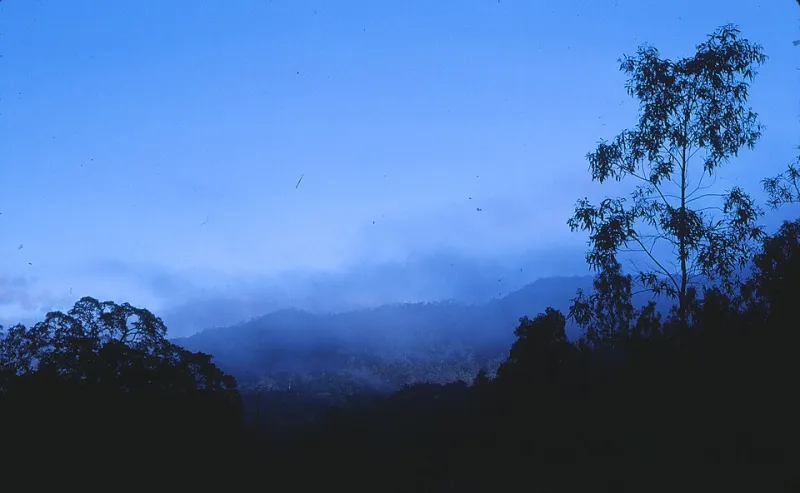
You paddle out on water so flat it looks edited, and the hills around you are pine-covered and quiet. It's easy to file Caliraya under 'natural attraction' and move on to the next photo.
Except it isn't natural. It's infrastructure — a lake that exists because a river got dammed so Manila could have electricity, and every piece of scenery you came for is downstream of that decision. Knowing the story doesn't spoil anything. It makes the landscape legible.
Before the lake, there was a river
The Caliraya River runs through the towns of Lumban and Cavinti in Laguna, on its way toward Laguna de Bay. Before the dam, this was a valley of farms, water, and forest, draining off the high ground where the Sierra Madre foothills begin to fold toward the coast. Locals fished and farmed. The land wasn't empty — that's the part people forget when they look at a map full of water.
What the 1930s were trying to do
The Philippines in that decade was a US commonwealth wrestling with a straightforward problem: Manila was growing and power was scarce and expensive. Hydroelectric projects were the obvious answer, especially in a country with reliable rainfall and elevation within a day's reach of the capital.
So engineers looked at the Caliraya valley, liked the drop and the catchment, and started building. Construction got underway in the late 1930s, and the project was carried through wartime chaos and completed during the early 1940s — the kind of timeline that tells you a lot about how hard it was. Postwar, the facility was repaired, expanded, and eventually joined by the pumped-storage plant at Kalayaan, which lets water be moved back uphill at night to be run through the turbines again the next day. The Caliraya–Botocan–Kalayaan complex became one of the workhorses of the country's power grid.
If you want a tidy summary: a river valley became a reservoir, the reservoir became electricity, and the electricity built a nation's capital into what it is now.
Why the shoreline looks the way it does
Here's where the history shows up in your weekend.
Water levels move. A lot. A reservoir is managed, not fixed. Operators draw it down and let it fill based on power demand, rainfall, and the season. In the dry months the lake can sit several feet lower than it did on someone else's Instagram post, which means exposed red-earth banks, staircases of mud, and docks pushed out further into the water.
There are stumps and drowned trees. Look carefully along the edges and you'll see them — the ghosts of the forest that was there before. They're a legitimate kayak hazard and a very good reminder of what you're floating over.
Islands come and go. Hills that look like islands during high water turn into peninsulas or just hills when the lake drops. Fishermen adjust. So should you, if your plan depends on paddling to a specific spot.
Resorts sit high for a reason. Lakeside properties here are built on the uphill side of the shoreline, with steps and paths down to the water, because the water is not a reliable neighbor.
It's also a fishery, which changes the whole vibe
Caliraya has a reputation among anglers — largemouth bass, tilapia, and carp all turn up in conversation, and the lake has quietly become something of a freshwater fishing destination for people who take their tackle seriously. That's a direct consequence of the reservoir era too: a stable, deep, managed body of water with structure and forage.
Practically, it means you'll share the lake with people who are absolutely not in a hurry, and you should give their lines a wide berth.
The culture around the dam
A dam brings workers, and workers bring a community. Generations of families around Cavinti and Lumban have some connection to the plant, whether directly or through the businesses that grew up around it. The newer layer — weekend homes and resorts built by Manila families starting in the 1970s and 80s who wanted the cool air — is what turned this working reservoir into a leisure destination.
That combination is what makes Caliraya interesting. It's not a resort town with a lake nearby. It's a piece of civil engineering with a resort scene that grew on top of it, and a local community that has been living with both for eighty years.
How to use all this on your trip
- Ask about the water before you book a shoreline-dependent plan. If your dream is a certain beach cove or a specific paddle route, message the operator and ask how the lake is sitting.
- Keep clear of intake structures, the dam, and spillway areas. They're working equipment, not photo ops. Ask locally what the no-go zones are.
- Book fishing with someone who lives there. The lake changes constantly; local knowledge is the whole game.
- Take the short drive to the dam area. It's a quiet, oddly industrial landmark that reframes everything you were just paddling on.
- Be a respectful guest. This is a watershed and someone's workplace, not just scenery.
The takeaway
Most US travelers don't fly to the Philippines to look at a hydroelectric plant, and you don't have to. But the next time you're on that flat, cold, foggy water with pines leaning over it, it's worth knowing that the view in front of you is a river valley, a commonwealth-era power project, a wartime engineering scramble, and a lakeside culture all stacked in the same place.
That's a much better story to bring home than 'we found a lake.'